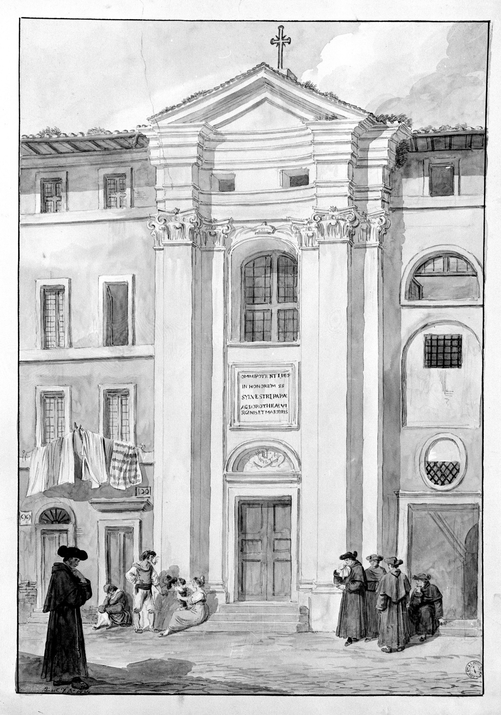

The 18th-century church of Santa Dorotea replaced an older building documented as early as 1123, when the church was dedicated to San Silvestro, a name that was changed to San Silvestro e Santa Dorotea in 1443. Rebuilt for the first time in 1475, it was demolished and completely rebuilt in 1756. The project was entrusted to Giovanni Battista Nolli, a famous 18th-century topographer, to whom we owe the creation of a measured map of the city of Rome, which is still a cornerstone for Roman topography studies. The map, in addition to precise indications of streets and monuments, shows the new division into fourteen districts ordered by Pope Benedict XIV in 1744: this subdivision led to the creation of the district plaques, some of which can still be found in the city streets. Nolli was buried under the high altar and, in memory of his work, is remembered with a beautiful plaque affixed to the right wall of the church.